Multi-UAV Coordination Research Shows Real Gains in Terrain Mapping and Ground Vehicle Safety
Two new papers out of arXiv push multi-drone coordination into practical territory, with one showing a 38% reduction in ground vehicle hazard exposure and another validating probabilistic mapping on real agricultural land.
By
·12 June 2026·6 min de lectura
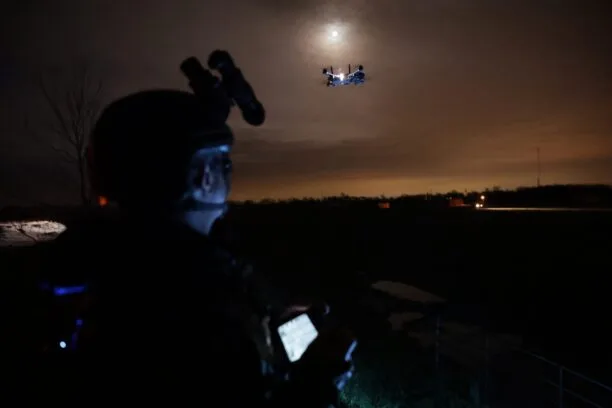
Coordinating multiple drones to do something useful together is harder than it sounds. Anyone who's watched a swarm demo at a trade show might disagree, but those are choreographed light shows. Real-world multi-UAV coordination, where drones are making independent decisions, sharing uncertain information, and adapting to an environment they don't fully understand, is a genuinely difficult engineering problem. Two papers published this week on arXiv suggest researchers are making concrete progress on it.
Both papers address a core tension in drone fleet operations: how do you get multiple vehicles to gather information efficiently without duplicating effort, while still maintaining enough shared situational awareness to act as a team? The answers they arrive at are different, but the underlying insight is similar. Uncertainty isn't just noise to be filtered out. It's the thing you should be actively planning around.
The first paper, "Multi-UAV Active Sensing with Information Gain-based Planning and Belief Fusion", focuses on probabilistic binary terrain mapping, specifically applied to precision agriculture. The setup: multiple UAVs need to map a field, determining which areas have the crop condition (or pest presence, or whatever binary classification you care about) and which don't. The environment is represented as a probabilistic belief map, and spatial dependencies between locations are modeled through a factor-graph formulation.
Cobertura relacionada
More in Drones
A pair of arXiv preprints tackle the same hard problem in drone control from very different angles. The results are promising, but the gap between 'outdoor experiment' and 'deployed system' remains large.
Aisha Patel · 25 Jun · 9 min
The Air 3S discount is real, but the urgency behind it has less to do with Amazon's sale and more to do with where DJI hardware might be headed.
Mark Kowalski · 23 Jun · 6 min
Procurement is the easy headline. Actually building enough drones, fast enough, with American parts, is the problem nobody's solved yet.
Mark Kowalski · 20 Jun · 7 min
The FCC just removed a narrow category of toy drones from its Covered List. It's a small move, but it tells you something about where the regulatory wind is blowing.
The planning algorithm is called IGbIPP, short for Information Gain-based Informative Path Planning. Rather than following a fixed sweep pattern or walking randomly across the field, each UAV picks paths that are expected to reduce overall map uncertainty the most. The paper compares IGbIPP against two baselines: a Random Walk approach and a standard Sweep coverage path plan.
The results, validated on both synthetic terrains and real UAV-derived agricultural imagery, show IGbIPP reduces entropy and mapping error more effectively than either baseline. That's not surprising in principle. Information-theoretic path planning has been a research direction for years. What's more interesting here is the real-world validation component. Most papers in this space stay in simulation. This one doesn't.
A few specific findings are worth pulling out:
A wider field of view improves real-world coverage and map accuracy, which sounds obvious but quantifying the tradeoff matters for hardware selection
Simple equal or biased spatial correlation weights between UAVs can be more robust than adaptive weighting schemes, which is a counterintuitive result
Among fusion rules tested, Bayesian fusion, log-odds fusion, and Dempster-Shafer fusion all achieve the best cooperative mapping performance
That last point is practically useful. From my time in hardware, one of the questions that always comes up when you're building a multi-sensor system is how to combine conflicting observations. The finding that three different fusion methods perform comparably well suggests there's some flexibility in implementation without sacrificing accuracy. That's good news for engineers who don't want to be locked into one probabilistic framework.
This is a meaningful reframing. Most aerial reconnaissance systems optimize for coverage, trying to see as much of the environment as possible. This paper argues that's the wrong objective when you have a ground vehicle with a specific route to travel. You don't need to map everything. You need to map the parts that matter for where the UGV is going.
The key mechanism is a shared exposure belief, a probabilistic map of hazard levels that gets updated in real time from aerial observations and is used jointly by both the UAV team and the ground vehicle. When the drones spot a new threat, the UGV can replan its route around it. The UAVs, meanwhile, use spatial region assignment to divide up sensing responsibilities and avoid covering the same ground twice.
The headline number: the approach reduces cumulative UGV exposure to hazards by 38% compared to a system that doesn't account for hazard levels. Redundant aerial coverage drops from 38.8% to 3.7% under the multi-UAV coordination scheme.
That 38% exposure reduction is a significant number. It's also a simulation result, which matters. The paper doesn't include real-world validation, and it's too early to say how much of that performance holds when you introduce sensor noise, GPS drift, communication latency, and all the other things that make hardware engineering humbling. The simulation results are promising, but the gap between simulation and deployment in threat-aware navigation is not small.
Look, the interesting thing about both of these papers isn't any single result. It's the shared architectural assumption: that multi-UAV systems should maintain a unified probabilistic representation of the environment, update it continuously from all available sensors, and use uncertainty itself as the primary driver of where to look next.
This is sometimes called active sensing or active perception, and it's been a theoretical framework for a while. What's shifting is the practical implementation. Factor graphs, log-odds maps, and information-gain planners are all mature enough now that researchers can run them on real hardware or in high-fidelity simulation and get numbers worth publishing.
The coordination problem is also maturing. Both papers address redundancy directly. The terrain mapping paper evaluates spatial weighting schemes to reduce overlap. The ground vehicle paper reduces redundant coverage from 38.8% to 3.7%. This is a good-faith engineering problem, not a demo problem. Avoiding redundant sensing matters for battery life, mission time, and fleet cost.
Neither paper is production-ready technology, and I want to be precise about what that means. The terrain mapping paper includes real-world UAV flights, which is genuinely more than most research delivers. But it's tested on agricultural fields, a relatively structured and low-dynamic environment. How the factor-graph belief model handles fast-moving targets or rapidly changing conditions remains unclear.
The ground vehicle safety paper is entirely simulation-based, which is a real gap. The 38% exposure reduction is compelling, but the threat model in simulation is necessarily simplified. Real threat zones, whether we're talking about unexploded ordnance, chemical contamination, or adversarial actors, have properties that are hard to capture in a simulator. The authors don't oversell this, to their credit, but it's worth flagging.
I've seen enough spec sheets to know that numbers from controlled experiments don't always survive contact with a production deployment. That's not a knock on either paper. It's just the nature of where this research sits in the development pipeline.
For engineers working on commercial drone fleets, precision agriculture applications, or autonomous ground vehicle support systems, both papers are worth reading in full. The terrain mapping work gives you concrete guidance on fusion rule selection and field-of-view tradeoffs. The ground vehicle paper offers a clean architecture for route-relevant aerial sensing that could be adapted for inspection, logistics, or defense applications.
The broader point is that multi-UAV coordination is moving out of the "interesting research problem" category and into something closer to an engineering toolkit. The components, probabilistic maps, information-gain planners, belief fusion rules, spatial task allocation, are getting tested against real objectives and real constraints. That's the kind of progress that eventually shows up in products.
How long that takes is, as always, the question nobody can answer cleanly.