Drone Navigation Is Getting Smarter, But Let's Talk About What That Actually Means
A batch of new research papers promise MAVs that can find targets and follow instructions. Some of this is genuinely clever. Some of it, well, we'll see.
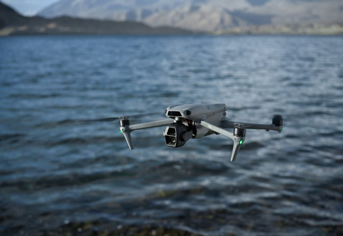
画像クレジット: Lottie animation by Centre Robotics (LottieFiles Free, used with credit). · source
I was reading through a stack of recent arXiv papers on drone navigation last week, and I'll be honest, it took me back to some conversations I had with engineers at a trade show in Munich maybe eight years ago. Back then, everyone was excited about autonomous MAVs for warehouse inventory counting. The demos looked great. The reality was, well, messier.
So when I see titles like "Semantic Target Search and Exploration using MAVs in Cluttered Environments" from a team publishing on arXiv, I get interested but cautious. The paper describes a system where a micro aerial vehicle can search for specific targets in unstructured 3D spaces, using what they call a semantically-guided viewpoint planner. The idea is the drone prioritizes where to look based on what it's already seen, propagating semantic information into unexplored areas. They've even hooked it up to large language models to help with similarity scoring. Real-world tests showed it handled limited battery life and small sensor ranges reasonably well.
Look, here's the thing. When I was at Kuka, we had a running joke about the gap between simulation success rates and what happened when you put a robot in an actual facility with dust, weird lighting, and a forklift driver who didn't read the memo. These researchers acknowledge practical constraints, which is more than some papers do. But the real-world experiments section is thin on details about failure modes. It remains unclear how the system handles, say, a target that's been moved or is partially obscured by packaging that wasn't in the training data.
The vision-language navigation space is getting crowded. Another paper, this one on Hierarchical Semantic-Geometric Maps from a team at , tackles a problem I've heard roboticists complain about for years: vision-language models are great at understanding pictures and text, but they're sort of rubbish at actual 3D spatial reasoning. Their solution is a multi-layer top-down map that translates geometric information into something the AI can actually use. The VLM handles high-level planning while a classical path-planning algorithm does the actual collision avoidance. They claim state-of-the-art performance on standard benchmarks, even beating some supervised methods in zero-shot settings.
関連記事
More in Drones
Researchers are getting serious about fault tolerance in robot swarms, and honestly, it's about time.
Sarah Williams · 14 mins ago · 4 min
New research shows we can now train drone policies in under two hours instead of two days, and one team even trained a recovery policy mid-flight in 0.38 seconds.
Sarah Williams · 1 hour ago · 5 min
The company commissioned a five-month penetration test of its drones. The results are interesting, but the methodology deserves scrutiny.
Aisha Patel · 3 days ago · 8 min
Three new papers tackle UAV path planning, but they're all dancing around the same uncomfortable truth about uncertainty.